Drone & Aerial Photography + Video
A New Perspective on Exceptional Places
Some places can only be fully understood from above. Aerial photography reveals the relationship between architecture, landscape, and the surrounding environment—offering a perspective that ground-level photography simply cannot.
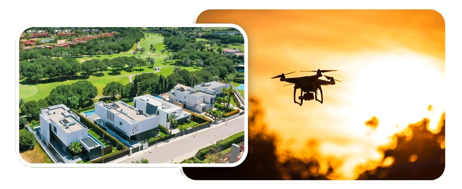
Whether documenting a luxury residence, commercial development, hospitality property, expansive ranch, or architectural project, drone photography provides context, scale, and a greater appreciation for the character of a place. These elevated perspectives highlight thoughtful design, showcase the surrounding landscape, and create compelling imagery that complements every project.
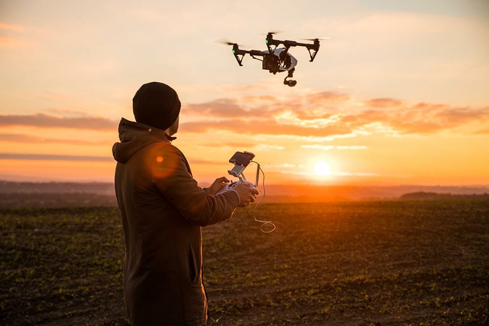
As an FAA Part 107 Certified Remote Pilot based in Eureka, Montana, I create high-resolution aerial photography and cinematic video throughout Northwest Montana. Every flight is planned with safety, precision, and careful attention to composition, delivering refined imagery that enhances marketing, publications, and visual storytelling.
🏡 Property Scale & Boundaries
🌲 Landscape & Natural Setting
🏔️ Views, Topography & Surroundings
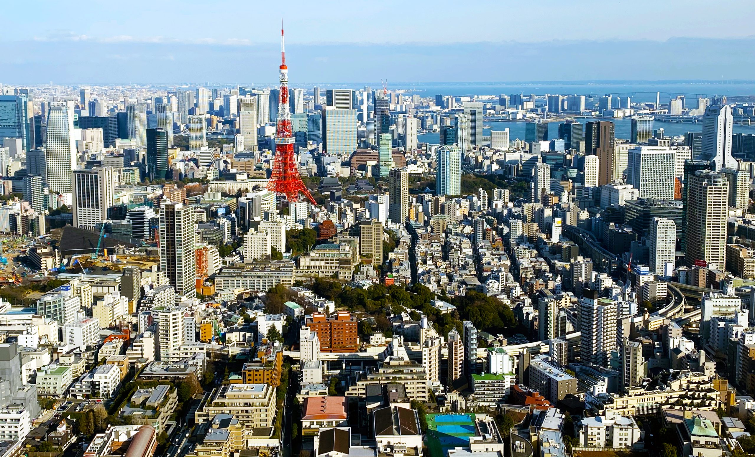
🛣️ Location & Regional Context
🏘️ Neighborhood & Community Perspective